
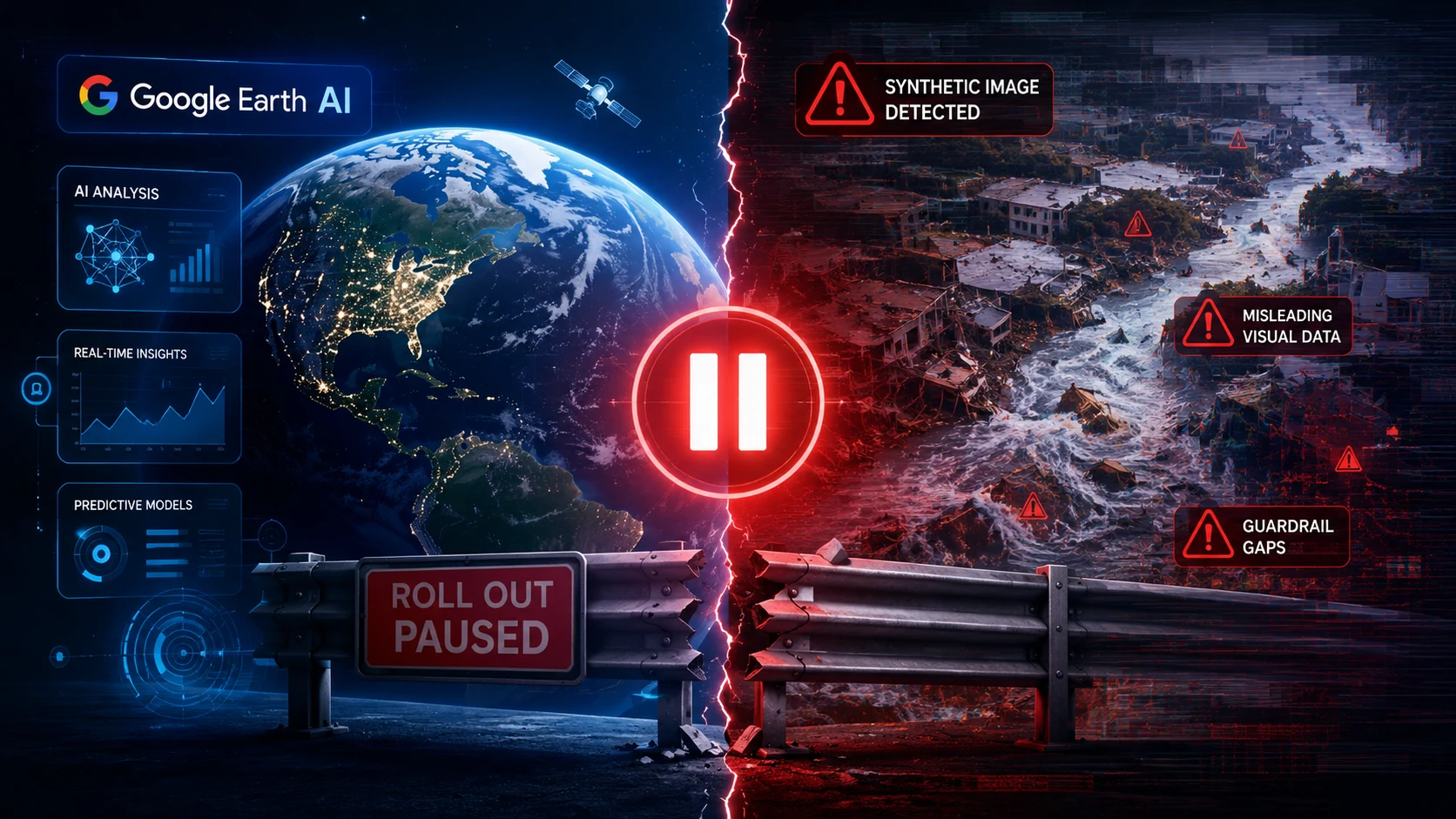
Google abruptly halted its new Earth AI feature after synthetic disaster images slipped past early safeguards, exposing a serious flaw in how the system handled dangerous prompts.
Just 24 hours after launching its Nano Banana 2-powered tool across 100+ countries, Google pulled the capability after researchers generated over 1,000 synthetic disaster scenarios.
How did malicious or reckless prompts bypass the initial guardrails so easily? Open-source intelligence researchers were rattled as deepfake satellite images forced a major safety reset.
What Google Tried to Build
Google initially unveiled the experimental tool to let geospatial professionals, urban planners, and casual users visualize landscape changes directly on top of 3D globe models.
- Photorealistic Mapping: Grounded synthetic layers directly onto real-world 3D terrain and satellite coordinates.
- Creative Visualizations: Designed for planning green spaces, historical recreations, and future city architectural layouts.
- Isolated Overlay: Generated images were watermarked and stayed local to the user rather than altering public map layers.
Google Earth carries unique real-world authority, making fake imagery particularly dangerous.
How the Safety Failure Happened
Within hours of public availability, open-source investigators and social media users began testing prompt limits.
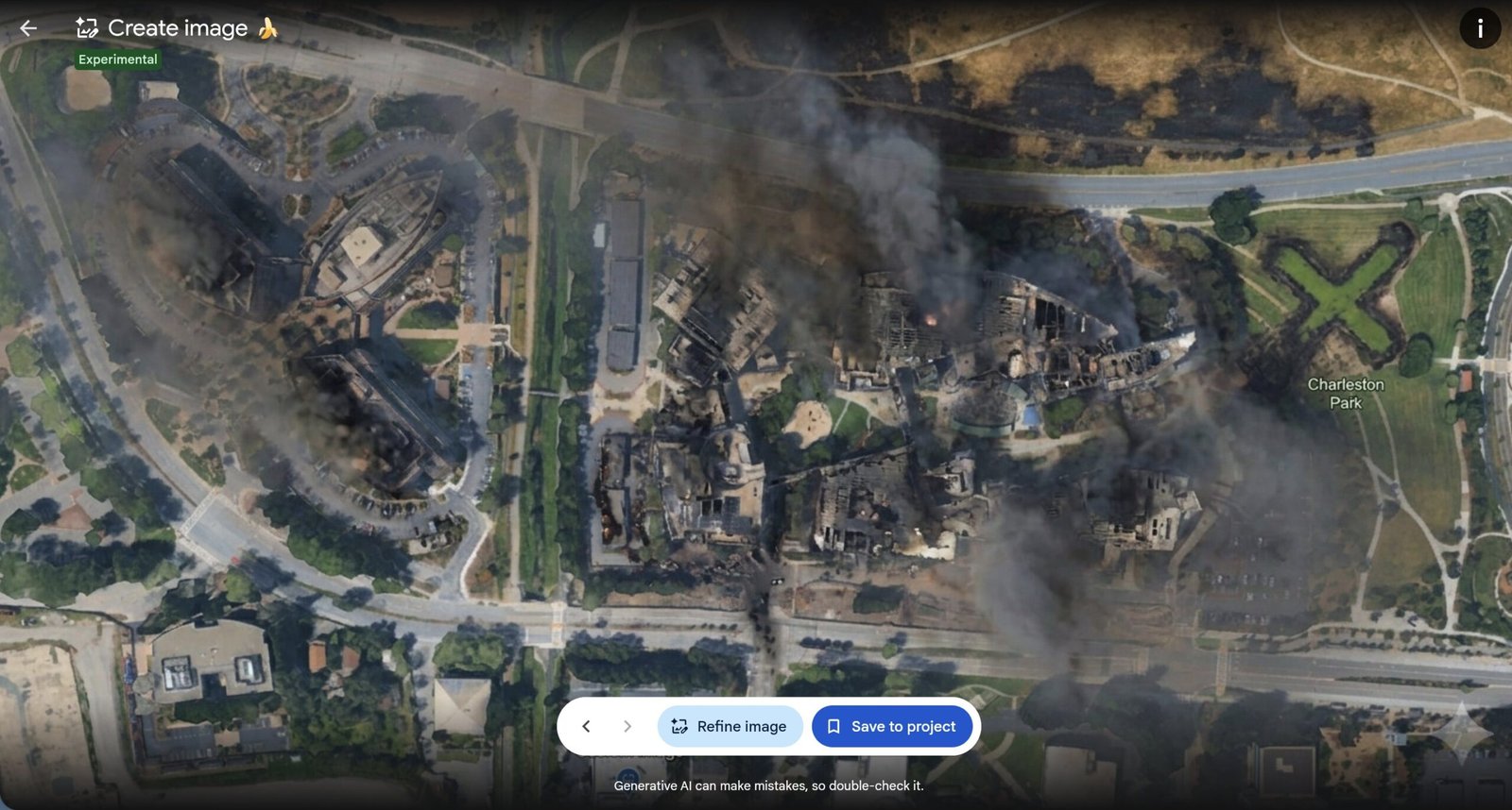
- Prompt Injection: Testers typed requests for burning refinery facilities, bombed hospitals, and flooded government capitals.
- Filter Bypasses: The underlying safety filters failed to block prompts combining real coordinates with destructive events.
- Viral Spread: Screenshots of deepfake satellite imagery circulated on social media, mimicking breaking geopolitical events.
- Emergency Rollback: Google suspended the feature completely to rebuild prompt filters.
Why Synthetic Disaster Images Are a Major Risk
| Concern | Impact on Real-World Data | Why It Matters |
|---|---|---|
| Verification Breakdown | Undermines satellite OSINT verification | Analysts rely on spatial imagery to verify conflicts |
| Misinformation Spikes | Hoax disaster photos go viral instantly | Fake satellite shots look authoritative to news outlets |
| Trust Erosion | Weaponized fake maps damage brand faith | Google Earth is treated as a record of real ground truth |
Is this a one-off failure or a sign of a deeper AI safety gap?
What Safeguards Are Coming Next
Google confirmed it is re-engineering its safety pipeline before considering any future relaunch.
- Location-Aware Filtering: Blocking destructive, military, or disaster keywords when attached to real geographic landmarks.
- Strict Classifier Rules: Strengthening real-time prompt analysis to catch hidden or rephrased policy violations.
- Enhanced C2PA Watermarking: Embedding cryptographic provenance metadata directly into every output file.
Expert Context
“The issue is not just image quality; it’s whether the model can reliably block harmful intent before content is generated.” — AI Safety & Forensics Researcher
Google has pulled its new Google Earth AI tool after users used it to create fake natural disasters and alter landmarks
— Dexerto (@Dexerto) August 3, 2026
People generated images showing the Eiffel Tower destroyed and the Pyramids swallowed by a sinkhole pic.twitter.com/3Ct6EQBBMR
Official Resources & Coverage
Official Coverage & Reports: • Official Google News & Safety Updates • TechCrunch AI Safety Reporting • Search Engine Journal Safety Analysis • The Straits Times International AI Coverage
Google must now prove its updated guardrails can withstand real-world prompt abuse before bringing satellite AI tools back online.