
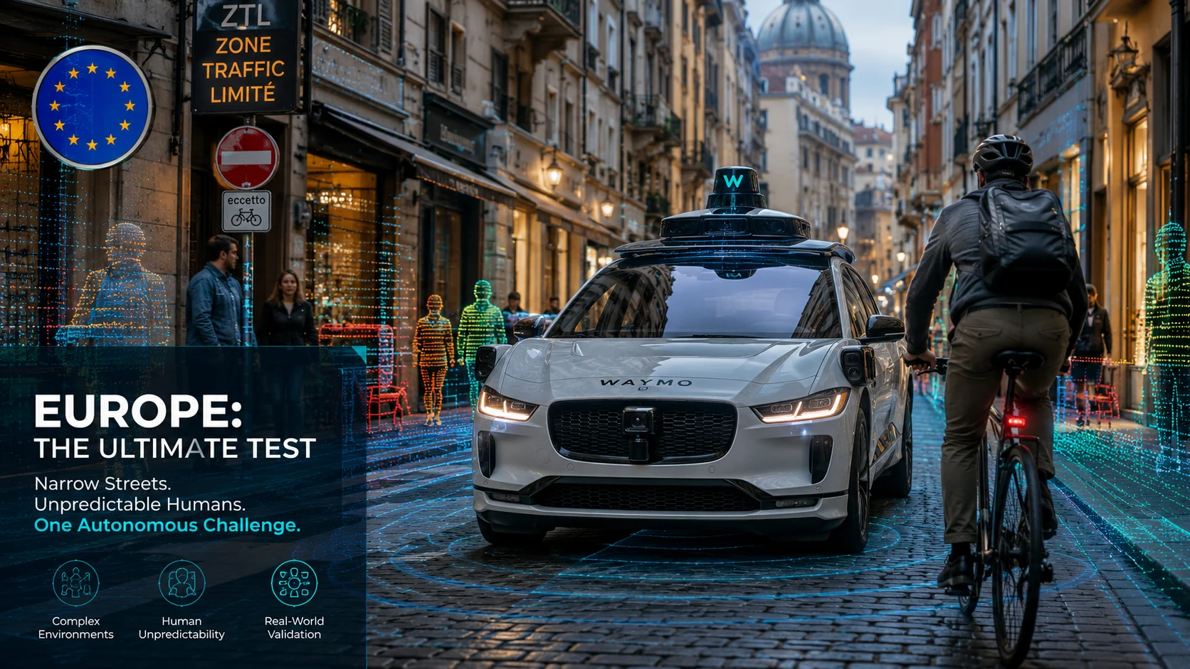
European streets are about to confound — and define — robotaxis. Roughly 60% of Europe’s pre-war city centers have narrow, winding layouts, Amsterdam’s bike modal share hits 37%, and UNECE updated AV rules in 2024 — so can Waymo robotaxis Europe safely navigate cobblestones, tight roundabouts, and aggressive cycling lanes?
City planners should worry and technologists should race: the next phase will test perception, policy alignment, and human trust.
Quick Takeaway
- Thesis: Expanding autonomous fleets to historic European cities requires a complete paradigm shift away from predictable American grids.
- Who Benefits: Municipal planners, transport regulators, autonomous vehicle engineers, and urban commuters.
- Immediate Action: Audit local infrastructure data to prepare for mixed-traffic automation pilots.
Why This Matters
Urban mobility transformation depends entirely on how automated systems handle edge cases that human drivers navigate intuitively. Unlike structured grid cities, European urban centers present complex social and spatial dynamics.
Spatial complexity combined with dense micromobility creates the ultimate proving ground for next-generation vehicle intelligence.
How Waymo Robotaxis Europe Differs from U.S. Deployments
Expanding autonomous operations overseas means confronting fundamentally different street typologies and regulatory environments.
Urban Geometry and Infrastructure Differences
- Narrow alleys: Medieval street widths leave minimal clearance for wide vehicle chassis.
- Complex intersections: Unmarked multi-way roundabouts replace standard four-way stop signs.
- Surface variations: Worn cobblestones and irregular asphalt degrade traditional optical tracking.
- Dynamic furniture: Outdoor dining cafes and delivery bollards constantly alter street borders.
- Signage variance: Multilingual and non-standardized historical directional postings complicate reading paths.
Technical Hurdles and Solutions
Perception and Sensor Fusion
Low-contrast historic surfaces and variable lighting challenge standard camera lenses. Engineers deploy enhanced LIDAR and thermal sensor arrays to maintain precise spatial awareness in dim European alleyways.
Localization and Maps
High-definition map dependencies fail when GPS signals bounce off stone facades. Fallback positioning algorithms utilize real-time visual odometry to keep Waymo robotaxis Europe safely on track without satellite links.
Motion Planning and Mixed Traffic
Predicting the movement of high-speed urban cyclists requires advanced intent-prediction models. Software updates prioritize cooperative yielding behaviors tailored to local cycling etiquette.

Regulatory and Legal Landscape
EU-wide rules and UNECE standards govern vehicle homologation across member states. Strict GDPR compliance mandates on-the-fly anonymization of captured pedestrian video data before cloud storage.
The Cycling and Micromobility Problem
Dense cycling networks require Waymo robotaxis Europe to interpret aggressive human signaling and subtle eye contact. Dedicated micro-mobility buffers help prevent blind-spot collisions during tight right-hand turns.
Also Read: The Death of Private Car Ownership? Why Tesla Cybercab robotaxi Should Terrify Automakers
What Remains Uncertain
While long-term testing is inevitable, exact deployment timelines and local municipal approvals remain under active negotiation across major capitals.
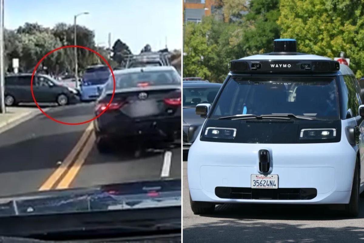
Dashcam footage captured the moment a driverless Waymo collided with another vehicle exiting a parking lot in Sunnyvale, California. A spokesperson for Waymo said the robotaxi pulled over at a wider space to exchange insurance information. pic.twitter.com/XNBKhdwnRI
— ABC7 News (@abc7newsbayarea) August 26, 2026
Conclusion
Conquering European streets will prove whether autonomous vehicles can transition from localized experiments into universal transit solutions.